AI can alter geospatial data to create deepfake geography

A fire in Central Park seems to appear as a smoke plume and a line of flames in a satellite image. Colorful lights on Diwali night in India, seen from space, seem to show widespread fireworks activity. Both images exemplify what a University of Washing… Continue reading AI can alter geospatial data to create deepfake geography

Watching Global Oil Trade With Satellite Imagery

The global oil market plays a large role in the geopolitical arena, and it is often in the interest of various role players to conceal the figures on production, consumption and movement of oil. This may simply to be to gain an advantage at the negotiation tables, or to skirt …read more

Continue reading Watching Global Oil Trade With Satellite Imagery

Microcontroller and IMU Team Up for Simple Flight Sim Controls

Classes are over at Cornell, and that means one thing: the students in [Bruce Land]’s microcontroller design course have submitted their final projects, many of which, like this flight control system for Google Earth’s flight simulator, find their way to the Hackaday tips line.

We actually got this tip several days ago, but since it revealed to us the previously unknown fact that Google Earth has a flight simulator mode, we’ve been somewhat distracted. Normally controlled by mouse and keyboard, [Sheila Balu] decided to give the sim a full set of flight controls to make it more realistic. The controls …read more

Continue reading Microcontroller and IMU Team Up for Simple Flight Sim Controls

Google Maps: Hubby divorces wife after finding her on Street View with another man

By Carolina
Google Maps is full of surprises, primarily thanks to some of its funniest, creepiest, and strangest street view images. In 2013, a father found his son’s dead body image and crime scene on Google Maps but who could have imagined this… Continue reading Google Maps: Hubby divorces wife after finding her on Street View with another man

Google will soon open-source Google Earth Enterprise

2017-01-31_0935 
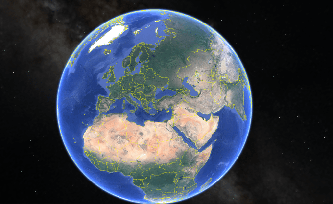
Google Earth Enterprise, which originally launched over ten years ago, was Google’s tool for businesses that wanted to build and host private versions of Google Earth and Google Maps for their internal geospatial applications. In 2015, the company announced that it would shut the service down in March 2017 but in what is becoming a pretty standard move for deprecated products, Google… Read More Continue reading Google will soon open-source Google Earth Enterprise

Google Maps Will Soon Find Parking Spot for You

By Carolina

Imagine a scenario where you are late for a movie because you can’t find a parking spot or if you found one it is far away from the cinema. Now imagine a scenario where you are not only able to find the location you are trying to visit but also detailed directions on where you can find the safest and […]

This is a post from HackRead.com Read the original post: Google Maps Will Soon Find Parking Spot for You

Continue reading Google Maps Will Soon Find Parking Spot for You