Hacking Global Positioning Systems Onto 16th-Century Maps
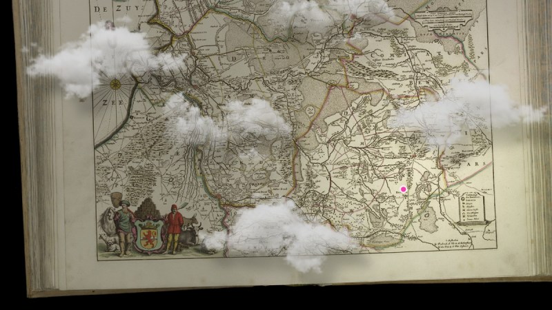
What if GPS had existed in 1565? No satellites or microelectronics, sure—but let’s play along. Imagine the bustling streets of Antwerp, where merchants navigated the sprawling city with woodcut maps. …read more Continue reading Hacking Global Positioning Systems Onto 16th-Century Maps